

Aurora's Treasure Chest
1936 Official Ohio Highway Map Art Deco Automobile Road Map Highway Signs
1936 Official Ohio Highway Map Art Deco Automobile Road Map Highway Signs
Couldn't load pickup availability
1936 Official Ohio Highway Map Art Deco Automobile Road Map Highway Signs
Original 1936 Official Ohio Highway Map issued by the State of Ohio Department of Highways in Columbus during the administration of Governor Martin L. Davey and Highway Director John Jaster Jr.
Features a striking yellow and navy Art Deco-style cover depicting a streamlined 1930s automobile traveling through a mountain landscape. Unfolds to a detailed statewide Ohio highway map with cities, towns, routes and mileage information.
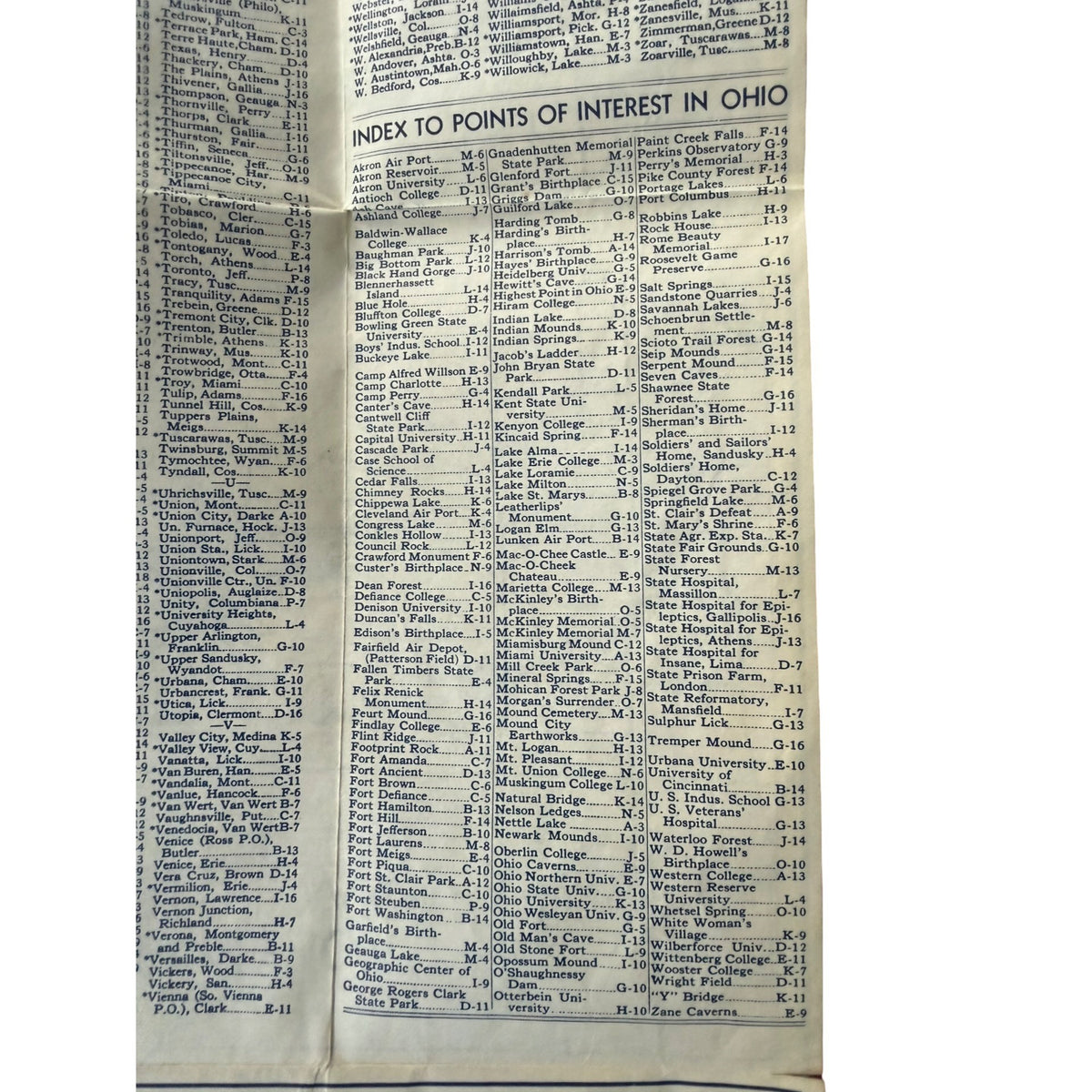
The reverse is especially interesting, featuring a large cities and villages index, Ohio points-of-interest directory, period traffic laws, Highway Patrol station telephone numbers, an eastern United States map and an illustrated guide to 1936 standard highway warning signs including Fresh Tar, Fresh Oil, Slippery When Wet, One Lane Bridge, Narrow Road and railroad crossing symbols.
A wonderful piece of Depression-era Ohio history and early American automobilia with appeal to collectors of vintage maps, transportation history, road signs and Art Deco ephemera.
Condition: Authentic vintage condition with overall toning, soiling, staining, creasing, fold wear, edge wear and small areas of stress/separation along folds consistent with approximately 90 years of age and use. Printing remains clear and the map displays well. Please review photos closely for condition.
Size: Approximately 6" x 4" folded
Materials: Printed paper
Colors: Yellow, navy blue, cream, light blue
Disclaimer: AI-generated images may appear at the end of the photo lineup for styling purposes only and may not exactly represent the item. Photos of the actual item are included. Vintage pieces may show age—please review all photos and details carefully.
Share